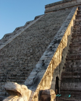
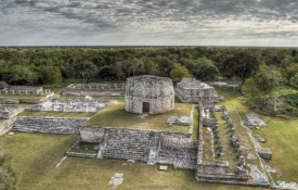
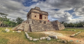
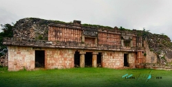
In Izamal, the past is not confined to an archaeological park outside town. Its streets lead to Kinich Kakmó, a Maya pyramid in the urban grid. Houses and everyday streets meet an ancient platform. According to Mexico's National Institute of Anthropology and History, or INAH, Kinich Kakmó stood on the north side of a great pre-Hispanic plaza. The city around it was far larger than the surviving monument suggests.
The pyramid is more than a stop between Izamal's yellow façades. The archaeological record asks for a slower reading. INAH identifies other surviving pre-Hispanic places across the town, including Itzamatul, Chaltún Ha, Habuk and Tu'ul. They are fragments of one settlement, not five unrelated attractions. Streets now separate buildings that once belonged to a broader ceremonial and residential landscape. The institute also describes ancient roads, or sacbeob, connecting Izamal with its surroundings. A visitor who walks between the fragments is therefore following the outline of a city whose complete plan is no longer visible.