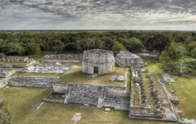
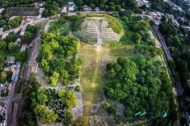
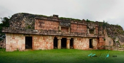
Dzibilchaltún is often reduced to a single image: sunlight framed by the doorway of the Temple of the Seven Dolls. Yet the archaeological landscape north of Mérida is much larger than that instant. Roads connect architectural groups, carved stones preserve writing and a natural water source helps explain the choice of settlement. The reward of walking here is the gradual discovery of those connections, beyond the one view that has made the site famous.
The name is commonly translated as the place of writing on flat stones. INAH’s description identifies a settlement extending over more than nineteen square kilometres, rather than a compact group of buildings occupying one small plaza. That archaeological extent should not be confused with the area open to visitors. Surviving remains belong to different periods, so the ground plan is a record of change rather than a city constructed all at once.