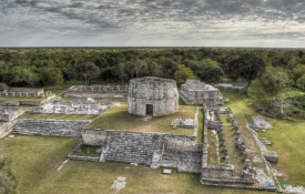
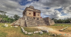
Oxkintok lies near Maxcanú in western Yucatán, about 55 kilometres south of Mérida and four kilometres east of the town, according to Mexico’s National Institute of Anthropology and History (INAH). The site occupies the low Puuc ridge known in Maya as Pucc, at roughly 40 metres above sea level. Its setting is modest compared with the region’s dramatic hills, yet its broad architectural groups and long occupation make it an important place to understand how Maya cities developed beyond the most famous monuments.
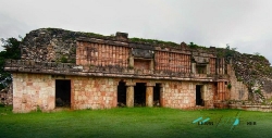
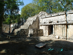
INAH records that Oxkintok was also known as Maxacan or Tzat Tun Tzat. During the Early Classic, dated by the institute to AD 300–550, the city expanded politically and occupied a position on exchange routes connecting the peninsula with the Gulf of Mexico and the Central Highlands. Many of its pyramidal buildings and palace structures belong to this period and to what scholars call the Early Oxkintok architectural style.