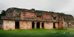
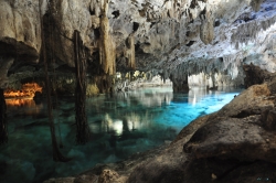
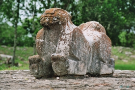
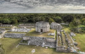
Loltún is the most extensive archaeological cave sequence documented in northern Yucatán, according to Mexico’s National Institute of Anthropology and History. Galleries, chambers, mineral formations, paintings, petroglyphs and cultural deposits record changing human use from early mobile groups through settled Maya communities. The name is usually explained from Maya words for “flower” and “stone.”
INAH places the earliest evidence around 9000 BC and describes a sequence that includes hunting and camp activity, plant and animal domestication, habitation and later architecture and sculpture. That long chronology does not mean every visible carving or object has the same age. A cave is a layered archive in which water, animals and people can move material, making controlled excavation and context essential.