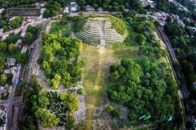
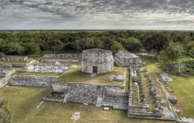
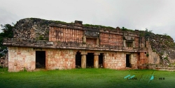
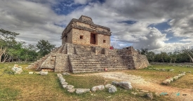
Chichén Itzá is an extensive archaeological city in the municipality of Tinum, in Mexico’s Yucatán state. Its name is commonly rendered as “at the mouth of the well of the Itza,” a reference to the region’s natural water sources and the people associated with the city. The ruins occupy a landscape where limestone bedrock, underground water and seasonal rainfall shaped settlement. The archaeological zone is not a single pyramid: plazas, platforms, temples, ball courts, residences and cenotes formed parts of a large urban and ceremonial center.
The city developed over centuries and became one of the most influential centers in the northern Maya lowlands. UNESCO describes Chichén Itzá as a place where Maya traditions and elements linked with central Mexico came together. That mixture is visible in architecture and imagery, but its meaning remains a subject of archaeological interpretation. It is more accurate to describe a history of contact and changing political relationships than to reduce the site to a simple story of one people conquering another.