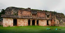
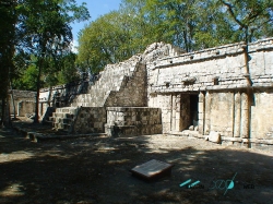
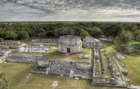
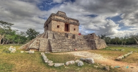
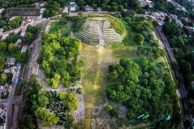
Xlapak is a compact Maya archaeological site in the Puuc region of Yucatán, in southeastern Mexico. The National Institute of Anthropology and History, INAH, places it in the municipality of Oxkutzcab, about 113 kilometres south of Mérida. The route passes Santa Elena before turning onto the Puuc road; the site is reached around kilometre 10 of that road. The scale is modest, but the setting gives the stop a strong connection to the wider archaeological landscape.
INAH’s Spanish-language interpretation explains the name Xlapak as “old stone.” The institution describes a community that flourished roughly from AD 750 to 950 in a small valley about three kilometres west of Labná. This places the site in a period of rapid population growth in the Puuc area. It is useful to read Xlapak not as an isolated miniature city, but as one settlement within a region of communities linked by agriculture, resources and movement.