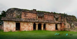
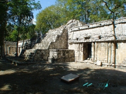
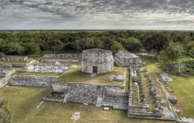
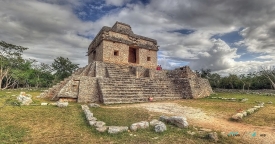
Labná’s most photographed feature is an arch, but it is not a triumphal gate at the edge of a vanished kingdom. In the Puuc hills of Mexico’s Yucatán state, this richly worked passage joined spaces within a Maya settlement. The National Institute of Anthropology and History, INAH, describes a vaulted opening leading toward a small quadrangle near El Mirador. Its carved surface rewards a slower look than the quick photograph usually allows. Stonework here was a way to arrange movement, frame a view and give a public space a memorable face.
The arch belongs to a compact archaeological zone whose buildings are linked by a sacbé, a constructed Maya road. The official site plan places the two-storey Palace, the arch, El Mirador and a building called the Temple of the Columns in relation to one another. Their distance on a map is modest. Their meaning is not. To walk the route is to move between elite residence, ceremonial architecture and spaces that once formed a working town. The label “ruins” can make that variety seem static; the plan shows how people were meant to circulate among these places.