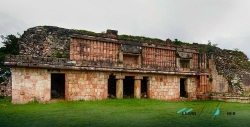
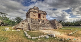
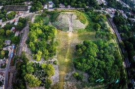
Mayapan is a Pre-Columbian Maya site located in the state of Yucatán, Mexico. It was the political and cultural capital of the Maya in the Yucatán Peninsula during the Late Post-Classic period from the 1220s until the 1440s. Mayapan is a large and complex site, with over 4,000 structures within the city walls and additional dwellings outside. The site is known for its well-preserved ceremonial center, which features a number of temples, colonnaded halls, and other religious structures.
HistoryThe ethnohistorical sources recount multiple different histories of the rise and fall of Mayapan. These histories are often confusing, chronologically implausible, and difficult to reconcile. For example, some sources say that the Maya revolted in 1221 against the Maya-Toltec lords of Chichen Itza. After a short civil war, the lords of various powerful cities and families met to restore a central government to Yucatán. They decided to build a new capital city near the town of Telchaquillo, hometown of Hunac Ceel, the general who defeated the rulers of Chichen Itza. The new city was built within a defensive wall and named Mayapan, meaning "Standard of the Maya people".