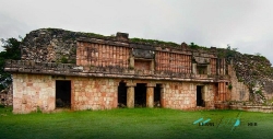
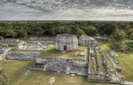
Santa Rosa Xtampak stands in the forested Chenes region of Campeche, Mexico, near the municipality of Hopelchén. The site was one of the region’s most important Maya cities and, according to Mexico’s National Institute of Anthropology and History (INAH), served as a capital of Los Chenes for centuries. The name Xtampak is commonly translated by INAH as “old walls.” Rather than a single pyramid, visitors encounter a large settlement whose buildings, plazas and carved monuments reflect changing forms of political and ceremonial life.
INAH describes the city as influential for roughly 850 years, before it began to decline around a millennium ago. Its position within the Chenes area connected it with a broader Maya landscape, while archaeological evidence points to contact with distant regions. The institution notes that jadeite, obsidian and salt reached Xtampak from places including Guatemala, central Mexico and the Yucatán Peninsula. These materials suggest exchange networks, but they do not mean every object came directly from a single source or along one route.