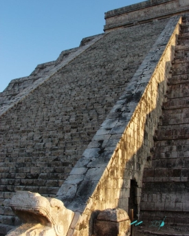
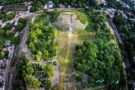
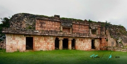
Tulum is often reduced to a photograph: a stone building above blue water. The archaeological city on Mexico's Caribbean coast deserves a slower look. Its wall encloses the main settlement on the north, south and west; the sea forms the eastern edge. Mexico's National Institute of Anthropology and History, INAH, records five entrances through the wall and two watchtowers. This was a planned coastal place, with controlled approaches and an open view across the water, rather than an isolated temple built for the modern beach below it.
The name itself carries a later memory. INAH notes that sixteenth-century sources called the site Zamá, interpreted as “morning” or “dawn” in Maya, while the more recent name Tulum refers to a wall or palisade. It is a useful distinction: the tourist town, the national park and the pre-Hispanic walled city share a name today, but they are not the same place or institution. Here the subject is the archaeological zone, where the story is told through buildings, murals, the position of the sea and the evidence of trade.