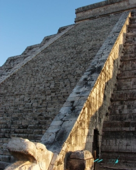
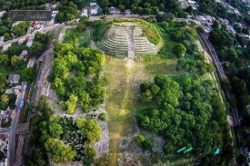
Castillo Real is a Maya archaeological site on the remote northern side of Cozumel, near Punta Molas. Despite its Spanish name, meaning “Royal Castle,” it is not a colonial fortress. The surviving masonry belongs to Cozumel’s pre-Hispanic landscape and is associated in archaeological descriptions with the island’s network of Maya sites and raised roads, or sacbeob. Its isolated coastal setting makes it intriguing, but also much harder to visit responsibly than San Gervasio or attractions near the main town.
Official Mexican heritage and protected-area material identifies Castillo Real within the island’s archaeological geography, while environmental authorities protect sensitive coastal and wetland habitats in northern Cozumel. That status means access cannot be inferred from a map pin. Roads can be rough or flooded, gates and conservation rules can change, and some rental agreements prohibit taking vehicles onto remote tracks. Travelers should arrange the visit through a licensed local guide and confirm current permission with the relevant authorities.