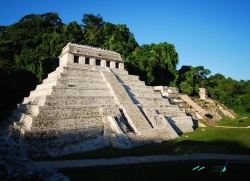
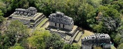
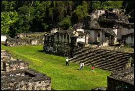
Moral-Reforma rises from the floodplain of the San Pedro Mártir River in eastern Tabasco, a strategic setting that linked Maya communities across the Usumacinta basin. Broad plazas, paired pyramids, palaces and inscribed monuments reveal a Classic-period political centre whose rulers negotiated with larger powers. The site is spacious and comparatively quiet, making its urban plan easier to read than at more crowded destinations.
Occupation began before the Classic period, but Moral-Reforma reached its monumental height roughly between AD 600 and 900. Inscriptions record rulers and ceremonies, including accession rites connected at different times with powerful kingdoms such as Calakmul and Palenque. These ties changed as alliances shifted; describing Moral-Reforma as a permanent colony of either city would erase the agency of its own dynasty.