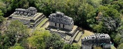
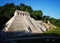
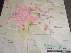
Zaculeu stands on a defensible plateau outside Huehuetenango, bordered by ravines and the Selegua River. Its original Mam name is recorded as Chnab’jul; the later K’iche’ name Saqulew or Zaculeu means “white earth.” Long occupation preceded its role as a Postclassic Mam capital, and its architecture records contacts and conflicts across the Guatemalan highlands.
K’iche’ influence became visible after conquest from Q’umarkaj, while the Mam retained a distinct political centre. In 1525, forces led by Gonzalo de Alvarado and Indigenous allies besieged Zaculeu. The defenders, commanded in tradition by Kayb’il B’alam, eventually surrendered under starvation. That history should recognise both Spanish violence and the participation of rival Indigenous polities rather than reducing the event to two sides.