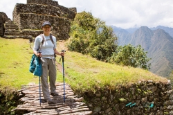
Raqchi lies in the district of San Pedro, in Cusco’s Canchis Province, on the high plateau south of the city of Cusco. The regional Culture Directorate places the archaeological park at an average elevation of about 3,480 metres, beside the Vilcanota River and below the extinct Kinsach’ata volcano. Visitors often arrive expecting one monumental ruin; the site is better understood as a planned landscape of ceremonial, residential and storage areas spread across a broad area.
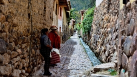
The settlement is also a living place. The community of Raqchi occupies part of the archaeological park’s wider landscape, so the visitor is not looking at an abandoned monument in an empty countryside. Cusco’s cultural authorities describe the community as a pottery-making settlement and situate it alongside the archaeological remains. That relationship calls for respectful travel: follow marked routes, ask before photographing people or workshops, and remember that homes and farmland are not extensions of the ticketed monument.