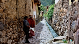
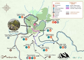
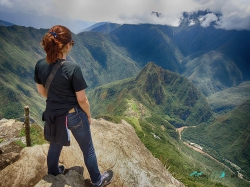
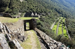
The Sacred Valley of the Incas is not one monument with a gate, but a broad Andean landscape of river, farming communities, market towns and archaeological parks north of Cusco. Peru’s tourism authority describes the journey from central Cusco to the valley as about an hour and a half by road, although the time depends on traffic and the destination. Pisac, Chinchero, Maras, Moray, Urubamba and Ollantaytambo are often combined into one itinerary, yet each offers a different view of how people have lived with this highland terrain. The best visit leaves room for those differences rather than treating the valley as a quick checklist on the way to Machu Picchu.
Peru Travel identifies the valley with the stretch of the Urubamba River that passes a string of towns and archaeological sites. Its fertile land and varied elevations helped make the area important to Inca agriculture and settlement. Terraces, water channels, storehouses, roads and ceremonial spaces were not isolated curiosities: together they formed a working landscape that linked food production, political organization and movement through the Andes. The surviving structures are most revealing when read in relation to the slopes and river below them, not as detached stone backdrops.