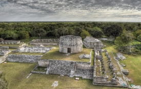
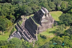
About Archaeological Site of Yaxchilán
Meaning
This city has received different names over time. For 1871-1872 Rito Zetina, who makes the first concrete reference to the site, mentions it under the name Mench. In 1881, Edwin Rockstroh, who worked for the Boundary Commission between Mexico and Guatemala, refers to her as Bol Mench. Alfred P. Maudslay called it Menhé Tinamit ("the city of the young forest"), a misnomer, since it is made up of a Mayan word and a Nahuatl word; Charnay used the name Lorillard, in honor of Piérre Lorillard who provided funds for his expedition. Finally, Teobert Maler, taking the name of a nearby stream in whose bed greenish stones are seen, applied the name of Yaxchilán to the ruins, which is the one they have preserved until today. Recently, Dr. Yuri Knorozov has suggested, from the phonetic reading of the glyphs, that their translation would possibly be that of The Great House of the Snake.
Cultural importance
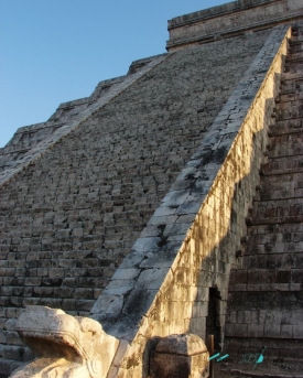
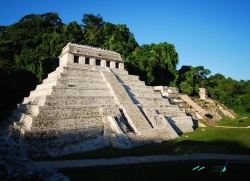
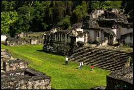
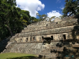
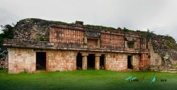
Yaxchilán is an example of the heyday of the Mayan city-states during the Late Classic. The importance of Yaxchilán does not lie only in the beauty of its architecture, but also in its 124 texts distributed in 30 stelae, 21 altars, 59 lintels and seven different inscriptions, elaborated in this period. The texts narrate the establishment of alliances or warlike conflicts, but mainly, these monuments contain hieroglyphic texts and representations of the protagonists of the various events, mainly of the rulers, among which Jaguar Shield I (681 to 742 AD) stand out. . Jaguar Bird IV (752 to 768 AD) and Jaguar Shield II (771 to 800 AD). Main chronological location: Late Classic, 600 to 800 AD. C.
Access: Access can be made from Palenque, Chiapas, following the newly paved road (in 2000) that leads southeast to the town of Chancalá, Chiapas, about 40 kilometers away. Continue along the same road towards Boca del Lacantún and after about 105 kilometers, reach the border crossing at Frontera Corozal or Frontera Echeverría, where it deviates northeast until reaching, after 15 kilometers, a town on the banks of the River Usumacinta. At Frontera Corozal and following the course of the Usumacinta River, after 30 kilometers you disembark at the Yaxchilán site.
Services available in the area: Restrooms, custody, rest areas in the service module. At the moment there is no collection fee.
Hours: Monday to Sunday from 08:00 to 17:00.
Contact: INAH Chiapas Center 01 (961) 6 12 83 60 y 6 12 28 24
Recommendations: Bring comfortable clothing, willingness to walk and ascent to the Acropolis. Hat and mosquito repellent, binoculars and water.
Website or social networks: Facebook Centro INAH Chiapas: https://www.facebook.com/centroinah.chiapas