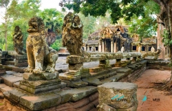
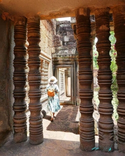
Ta Som stands along Angkor’s Grand Circuit in Siem Reap Province, Cambodia, within a landscape of temples, reservoirs, roads and former royal centres. The site is more compact than Angkor Wat or the Bayon, but its scale makes it rewarding for visitors who want to look closely rather than rush from one landmark to another. UNESCO describes the wider Angkor archaeological area as roughly 400 square kilometres, a cultural landscape whose monuments are connected to water systems and ancient urban plans.
The APSARA National Authority’s Khmer-language and English account, published in June 2026, places Ta Som in Takos village, Preah Dak commune, Banteay Srei district. It identifies the temple as a late-12th-century foundation from the reign of Jayavarman VII. APSARA describes it as a Mahayana Buddhist sanctuary dedicated to Avalokiteshvara, the bodhisattva of compassion, whose images appear carved into the monument. The same authority cautions that no inscriptions have been found to provide a fuller account of the temple’s history or dedication.