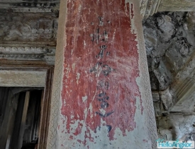
Banteay Kdei stands in Angkor Archaeological Park, southeast of Ta Prohm and directly opposite Srah Srang, the large reservoir whose name is often translated as “Royal Bath.” Its Khmer name is written ប្រាសាទបន្ទាយក្តី. Unlike the best-known monumental stops, this Buddhist temple is often experienced as a sequence of shaded courtyards, galleries and doorways. That quieter atmosphere is part of its appeal, but the site is not an isolated ruin: it belongs to the dense sacred and urban landscape created around Angkor’s successive capitals.
APSARA National Authority dates the temple to the late 12th century, during the reign of Jayavarman VII, and describes it as dedicated to Mahayana Buddhism. The authority places it in the Bayon architectural style and notes that sandstone and laterite were used in its construction. The complex is more modest in scale than Ta Prohm and Preah Khan, yet its broad, ordered plan makes it easier to read as a series of connected spaces rather than a single sanctuary.