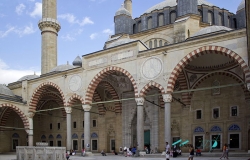
The southern fortress wall follows the edge of Nessebar’s compact rocky peninsula, where ancient masonry, medieval churches and nineteenth-century timber houses occupy an unusually concentrated landscape. Although the visible wall is one component of the Ancient City of Nessebar, it provides a direct way to understand why this Black Sea settlement was defended, rebuilt and reused for more than three thousand years.
The earliest settlement was Thracian Menebria. At the beginning of the sixth century BCE it became a Greek colony, developing an agora, sanctuaries and fortifications. UNESCO notes surviving evidence from the Hellenistic city, including wall sections, while archaeological layers around the peninsula record successive changes in shoreline, trade and defence.