
Aerial Views of Our World Back to the full guide
Siem Reap Province · Cambodia · Street View

Phnom Kulen National Park — Street View

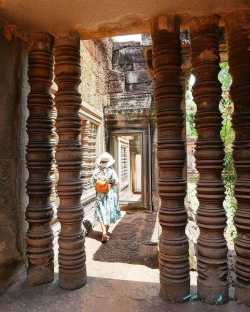
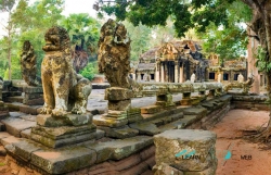
Walk around Phnom Kulen National Park at street level, then read the full guide with photos, videos and sources.

Phnom Kulen National Park is a national park in Cambodia, located in the Phnom Kulen mountain massif in Siem Reap Province. It was established in 1993 and covers 373.76 km2 (144.31 sq mi). Its official Khmer name is Preah Cheyvaraman-Norodom Phnom Kulen National Park (Khmer: ឧទ្យានជាតិព្រះជ័យវរ្ម័ន​-នរោត្តម​ ភ្នំគូលែន. During the Angkorian era the relief was known as Mahendraparvata (the mountain of Great Indra) and was the place where Jayavarman II had himself declared chakravartin (King of Kings), an act which is considered the foundation of Khmer Empire.
Read the full guide

Where it is: រាជធានី​ភ្ន, Cambodia · 13.6436414, 104.1466046

Street View nearby

Kbal Spean Siem Reap Province, Cambodia · 15 km away
Phnom Bok Siem Reap Province, Cambodia · 27 km away
Ta Som Krong Siem , Cambodia · 32 km away
Pre Rup Krong Siem , Cambodia · 34 km away
Neak Poun Krong Siem , Cambodia · 34 km away