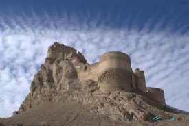
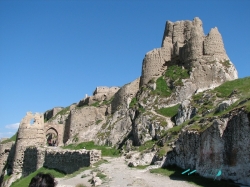
At Geghard, the cliff is more than a backdrop. It provides walls, ceilings and the substance from which sacred rooms were excavated. Freestanding masonry stands beside chambers cut directly into the mountain, so that moving through the monastery becomes a lesson in two ways of building. In Armenia’s Kotayk region, near Goght in the upper Azat Valley, the ensemble draws its force from that encounter between deliberate architecture and the rock that surrounds it.
The older name, Ayrivank, means the monastery in the cave. It describes the setting before any date has to be remembered. Tradition associates the foundation with Gregory the Illuminator and Armenia’s adoption of Christianity in the early fourth century. That is the monastery’s received religious history; the principal architectural ensemble visible today was completed in the thirteenth century. Keeping those two chronologies distinct makes the surviving buildings easier to understand.