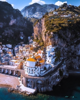
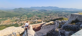
The Amalfi Coast is a region of southern Italy, not just the town of Amalfi or a strip of beach. UNESCO describes the listed cultural landscape as 11,231 hectares embracing 15 municipalities, agricultural land and three nature reserves along the southern side of the Sorrentine Peninsula. Cliffs descend toward the Tyrrhenian Sea, while settlements, terraces and narrow roads occupy the slopes. The scenery is dramatic, but the coast is also a working inhabited landscape whose identity has been shaped by farming, trade and the difficult relationship between land and sea.
The World Heritage designation recognizes that interaction between nature and human effort. Steep terrain limited flat building sites, so residents shaped terraces for vineyards and fruit cultivation and used higher ground for pasture. The coast’s villages sit at different elevations and have distinct street patterns; they are not interchangeable stops with one central promenade. Planning around the geography—rather than trying to cover every town in a day—helps visitors appreciate how the landscape fits together and reduces time spent in traffic.