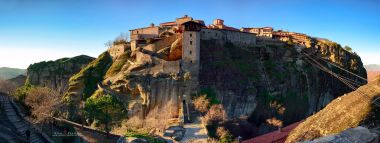
Across the sea moat from Corfu’s Spianada, the Old Fortress rises on a rocky peninsula at the edge of the historic town. It is an imposing entrance to the island’s past, but not a monument frozen in one era. Byzantine fortifications, Venetian engineering, a British-era church and buildings still used by public institutions share the headland. The official Hellenic Heritage account describes a stronghold shaped by centuries of conflict and changing rule; UNESCO places it within Corfu’s wider fortified port landscape. A visit rewards anyone willing to look beyond the postcard view toward the layers of military, civic and cultural life that remain inside the walls.
The site’s natural form helped make it defensible. Two rocky heights project into the sea, and the Hellenic Heritage history traces the first fortifications to the Middle Byzantine period, when the town occupied the peninsula. The Greek name Koryfo, associated with a peak, is linked to the name Corfu. Venetian rule transformed the defenses from the fifteenth century onward, as the island’s position at the entrance to the Adriatic made it strategically valuable. Engineers strengthened the eastern and western heights and cut a moat that separated the peninsula from the town, turning the approach into a controlled passage across water.