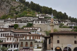
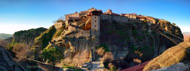
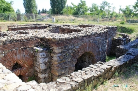
Gjirokastër reveals itself in layers of stone. Roofs follow the slope beneath the fortress, lanes climb between houses and, from above, the Drino valley opens out below. The Albanian city is often called the stone city, but its most compelling feature is not a single material: it is the way a steep landscape, a bazaar and remarkable houses have grown together beneath the castle.
Come prepared to walk slowly. The old town is beautiful precisely because it follows the contours of the hill, and those contours mean steep streets and uneven paving. Give the city more than a quick stop if you can: a castle visit, a walk through the bazaar and time inside a historic house each reveal a different side of the place.