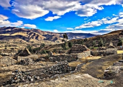
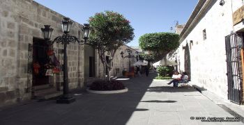
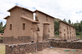
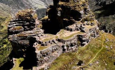
In Peru’s Arequipa Region, the Colca Canyon is best understood as part of a much wider cultural landscape in Caylloma Province. The Colca River cuts through high Andean terrain, but the experience is not limited to a dramatic drop in the ground. Roads link villages, agricultural terraces, churches, thermal springs and viewpoints, while residents continue to use and care for the valley. That combination makes the region a destination for travellers interested in scenery and in the people who have shaped it over generations. The canyon’s scale is striking, yet its human geography is what gives a longer visit depth.
Older summaries often repeat a single depth figure or call Colca the world’s deepest canyon. Such rankings depend on where measurements begin and end, and the official visitor information reviewed for this guide does not establish a definitive global record. The more useful way to approach the place is to see how the river, steep slopes and high plateau fit together. Travellers who arrive expecting only one famous photograph can miss the sequence of landscapes and settlements that unfolds between Chivay, Cabanaconde and the surrounding communities.