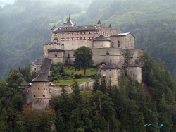
The first thing Český Krumlov teaches a visitor is to let the river set the pace. The Vltava bends around the old town in a deep loop, and the streets follow its curves toward a castle that seems to watch over every roof. From a bridge or riverside lane, the place reads less like a collection of monuments than a town whose history has stayed visible in the way it grew.
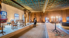
The castle was established in the thirteenth century; the town’s first written mention dates to 1253. For nearly three centuries the Rožmberk family shaped Krumlov into a regional political and cultural centre, enlarging the castle and leaving a Renaissance imprint on its courtyards and interiors. The estate passed to the Eggenbergs in 1622 and to the Schwarzenbergs in 1719; the latter held it until 1947. The succession is not an abstract list here. It can be read in the change of styles, from medieval masonry to Renaissance decoration and Baroque rooms.