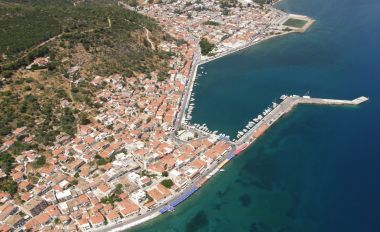
On Crete’s western coast, ancient Falassarna preserves a fortified harbour that now lies inland, lifted above sea level by geological upheaval. The city flourished particularly in the fourth and third centuries BC, using its protected basin and western position to connect Crete with Mediterranean trade. Harbour channels, towers, quays and workshops make maritime engineering the central attraction.
Falassarna belonged to the city-state of Polyrrhenia at times and competed within a shifting Cretan political world. Inscriptions and archaeological finds point to trade, warfare and local civic institutions. Roman forces destroyed the city in 69 or 67 BC during campaigns against piracy. Labelling every inhabitant a pirate is misleading; maritime communities combined commerce, naval power and activities Rome classified according to its interests.