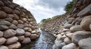
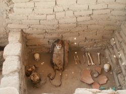
The name “Nazca Lines” often brings a handful of familiar figures to mind, but the protected landscape is larger and more varied than a single aerial photograph suggests. UNESCO lists the property as the Lines and Geoglyphs of Nasca and Palpa, including the Pampas de Jumana, on Peru’s arid southern coast. The lines lie in the Ica region, across a broad desert basin between the towns of Nasca and Palpa, roughly 400 kilometres south of Lima. This is not one monument with a gate: it is an archaeological landscape whose scale becomes clear only when its separate viewing points are understood.
The UNESCO World Heritage inscription dates to 1994. Its official description emphasizes the continuity of a cultural landscape created over many centuries by communities on Peru’s south coast. The site matters not simply because its figures are large, but because the marks, their arrangement and the landscape around them preserve evidence of how people used and understood this dry territory. For travellers, that distinction changes the visit: the attraction is both the recognizable animal figures and the immense, carefully altered ground on which they appear.