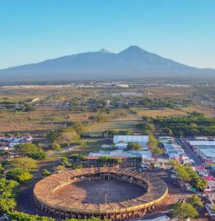
La Campana is an extensive archaeological zone at the edge of Colima and Villa de Álvarez, where avenues, plazas, platforms, drainage works, tombs and petroglyphs reveal a carefully planned pre-Hispanic city. Its urban setting is unusual: the modern metropolitan area surrounds a protected remnant of a settlement whose development paralleled major centres such as Teotihuacan and Monte Albán.
INAH places the earliest occupation in the Capacha ceramic phase, around 1870–1720 BC, when perishable buildings stood on simple circular foundations. During later phases, rulers reorganized the settlement around major east–west and north–south axes. The plan was oriented in relation to the Volcán de Fuego, connecting political and ritual space with a powerful feature of the landscape.