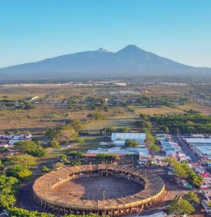
Only about six kilometres north of central Colima, El Chanal preserves plazas, pyramidal platforms, altars and ballcourts from a large pre-Hispanic settlement. Its location makes it an accessible introduction to western Mexican archaeology, but the people who built its visible monuments cannot be assigned a simple ethnic label. INAH stresses that the site’s material culture does not connect neatly with established Colima ceramic traditions.
The principal period of occupation is generally placed between about AD 1100 and 1400, although the broader settlement has earlier evidence. Stone reliefs on stair risers show calendrical signs and figures associated with Mesoamerican religious imagery. Their presence indicates participation in wider intellectual networks, not proof that migrants from one famous central Mexican civilisation founded the city.