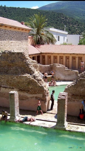
At Djémila, the Roman city does not unfold across an unlimited plain. It occupies a rocky spur between two mountain watercourses, about nine hundred metres above sea level. Streets and public buildings had to negotiate that setting. This meeting of a familiar urban language with difficult terrain gives ancient Cuicul its character: the surviving structures belong to a city whose shape was conditioned by the ground beneath it.
The site lies about fifty kilometres northeast of Sétif in Algeria. UNESCO dates the Roman colony’s foundation to Nerva’s reign, between AD 96 and 98, and recognises its adaptation to the mountains as central to its significance. The surrounding land is therefore more than a backdrop for photographs. It helps explain why the city developed as it did, and why its later growth cannot be read as one unchanging plan.