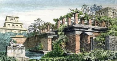
Baghdad island park is one of the biggest parks in Iraq. The foundation for the island was laid in 1979 and completed in 1982. It encompasses two million square meters. It was the largest theme park in Baghdad and the whole of Iraq and Middle East.
Baghdad island park is located in the middle of the Tigris immortal River and 20 km north of Baghdad, in Fahhama district in the center of the gardens and the trees which give it an advantageous position, the island extends over a large area of approximately 572 acres that is to say the island an estimated area (1.43 million) of two of them (400,000 m) 2 of the lake, which occupies a privileged position and beautiful most of the island area is arable and soils sedimentary perennial vegetation and trees hoping energy of the island they (26,000) visitors daily estimates (63 m2) for visitor and this measure close to a scientific measure of green areas open and deep (40-80) m2 for the visitor and the island of three main entrances (north , south and central in the middle).